
Santa Tecla
About Santa Tecla
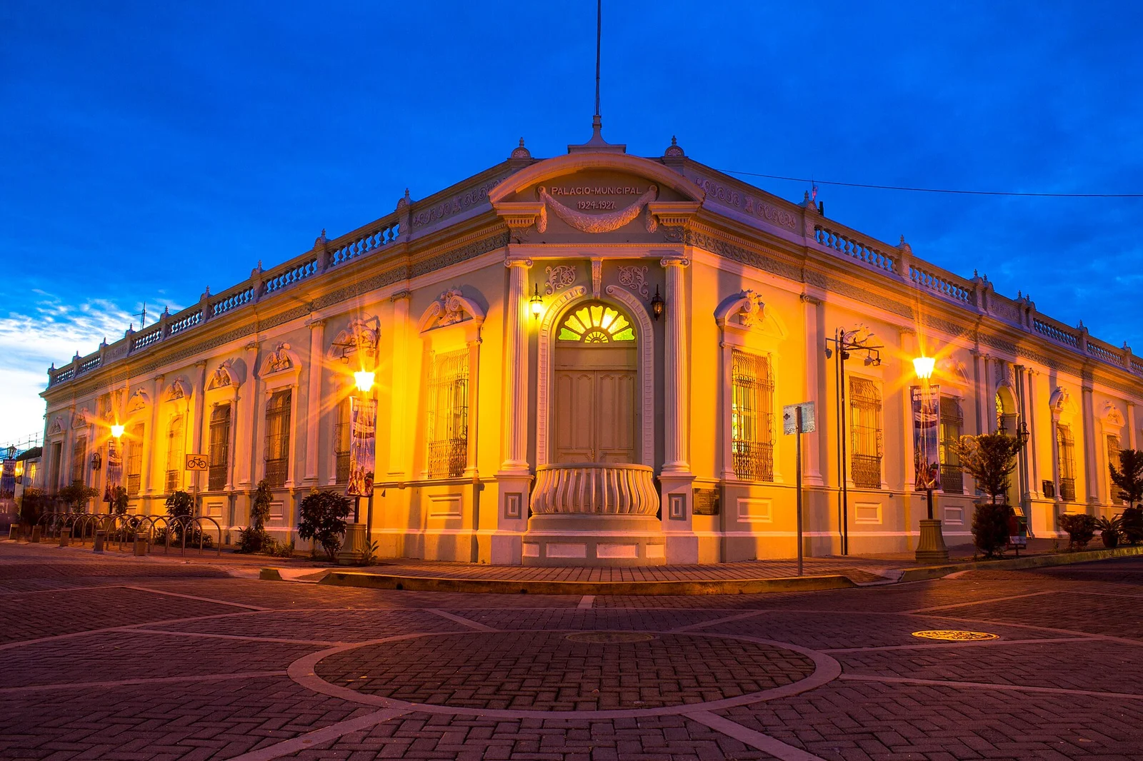
Santa Tecla features a grid of streets, grand houses, and parks at the foot of the San Salvador volcano. The Tecleño Palace and the El Carmen Church are two highlights of the tour, which can continue among the cafés and restaurants of Paseo El Carmen. El Cafetalón adds recreational spaces for families. Integrated into the metropolitan area, it maintains a unique identity that is reflected in its republican buildings and cultural life.
Explore Santa Tecla
Activities, restaurants and stays recommended by Experiences.
Where to eat
Tap a card for more info and location
La Espetada Merliot
Maurita | Mariscos y Cócteles
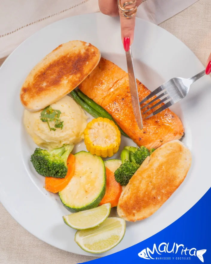
Maurita | Mariscos y Cócteles
a la altura del palacio tecleno, 1 a Calle Poniente 1-4, Santa Tecla
Restaurante Mama Rosa
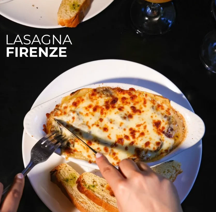
Boca de Lobo
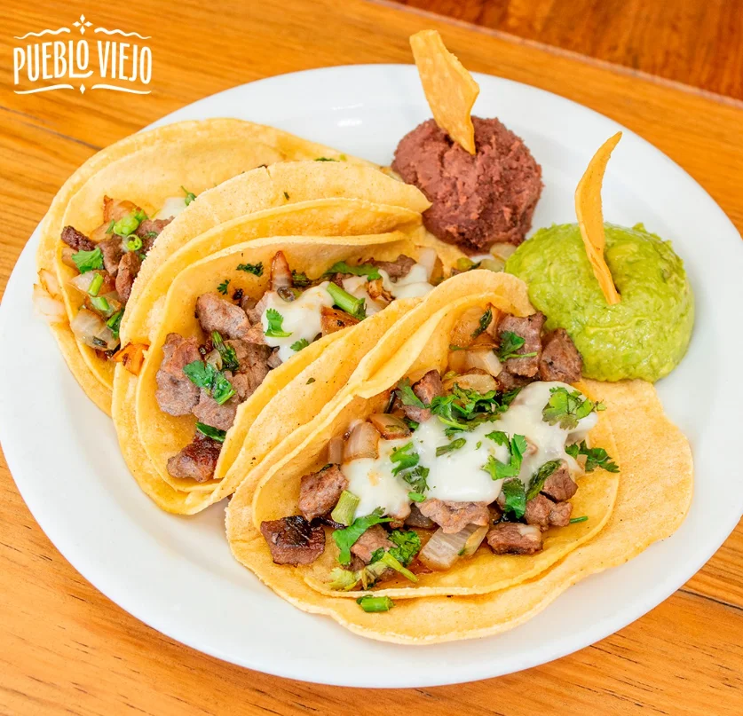
Restaurante Pueblo Viejo
Restaurante Pueblo Viejo
Finca Santa Rosa, Centro comercial La Skina16, Avenida Norte, Santa Tecla
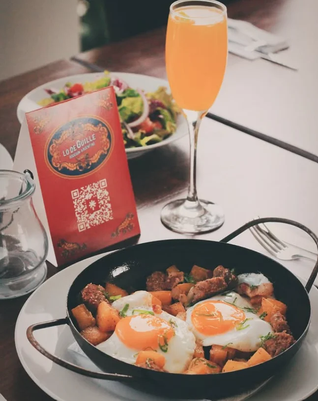
Lo de Guille
Lo de Guille
Restaurant in Santa Tecla with delivery service and a menu of Salvadoran food. A practical option for ordering takeout or dining in.
P.º El Carmen 2- 7, Santa Tecla
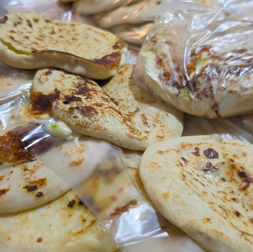
Rincón de la Abuela
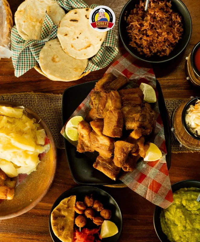
Chicharrones Porky's
Chicharrones Porky's
Restaurant specialized in chicharrón in Santa Tecla. The signature dish is fried chicharrón served with curtido and warm tortillas.
Avenida Ateos 48D, Santa Tecla
Cafés & Bars
Tap a card for more info and location
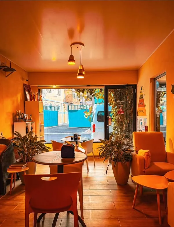
DLaPalma Café
DLaPalma Café
Avenida Santa Teresa senda 7 #1 Residencial Santa Teresa Ciudad Merliot, Santa Tecla CP 1501
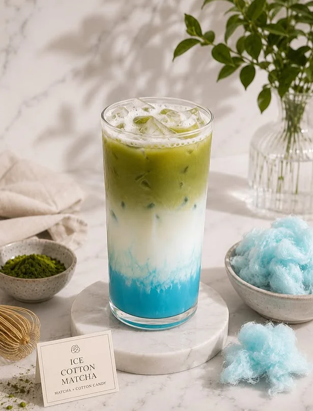
CAFE Atelier
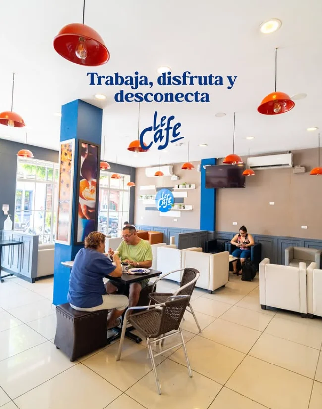
Le Café • Santa Tecla
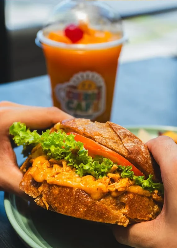
Cheros Café
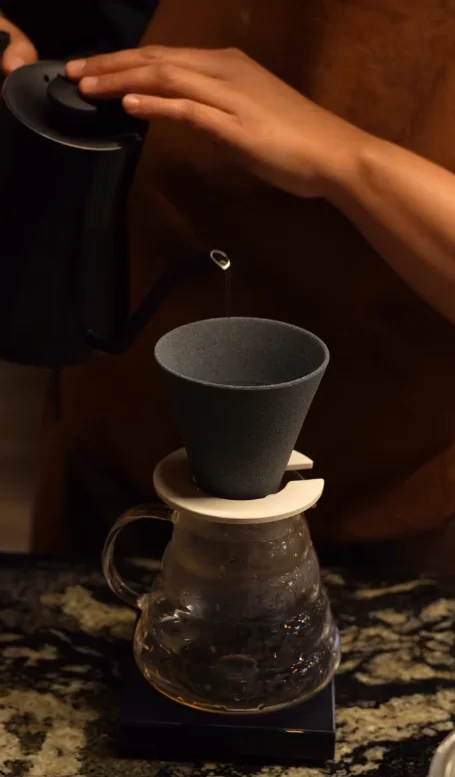
Café Fulanos | Merliot
Café Fulanos | Merliot
Poligono C, N4, Calle Libertad y Blvd. Merliot, Santa Tecla Santa Tecla La Libertad CP, Cd Merliot 1501
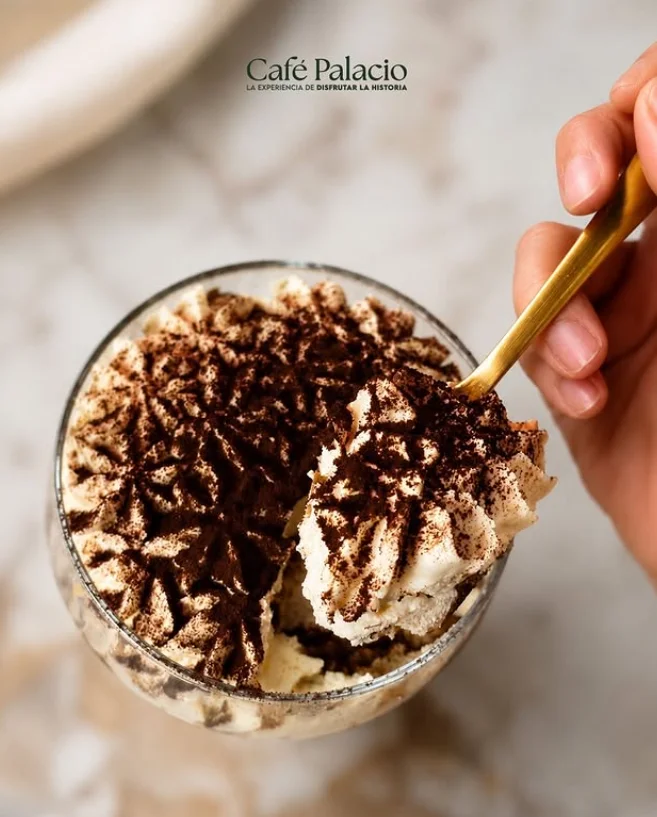
Café Palacio
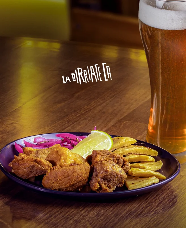
La Birriateca
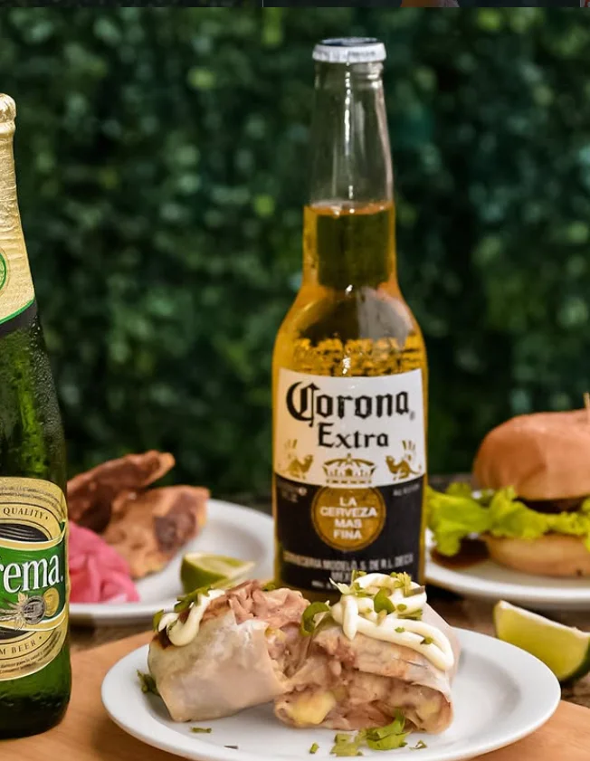
El Ancla • El Cafetalón
El Ancla • El Cafetalón
Bar in the El Cafetalón area, Santa Tecla, with an active presence on social media. Casual atmosphere for drinks and snacks in the evening.
MPG9+VCJ, Santa Tecla
Where to stay
Tap a card for more info and location
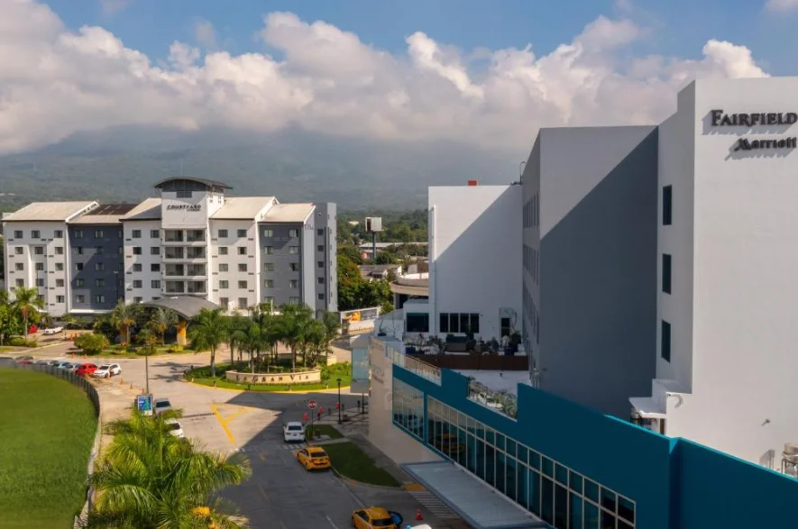
Fairfield by Marriott
Fairfield by Marriott
Centro Comercial Centro de Estilo de Vida La Gran Via, Calle 2 Contiguo A, San Salvador
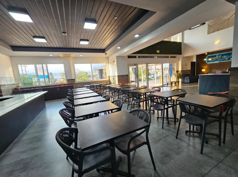
Beverly Hills: Hotel & Business - San Salvador
Beverly Hills: Hotel & Business - San Salvador
Urbanización Madreselva, C. Llama del Bosque 7 poniente, Nuevo Cuscatlan
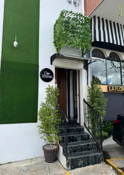
Casa Serena - Merliot
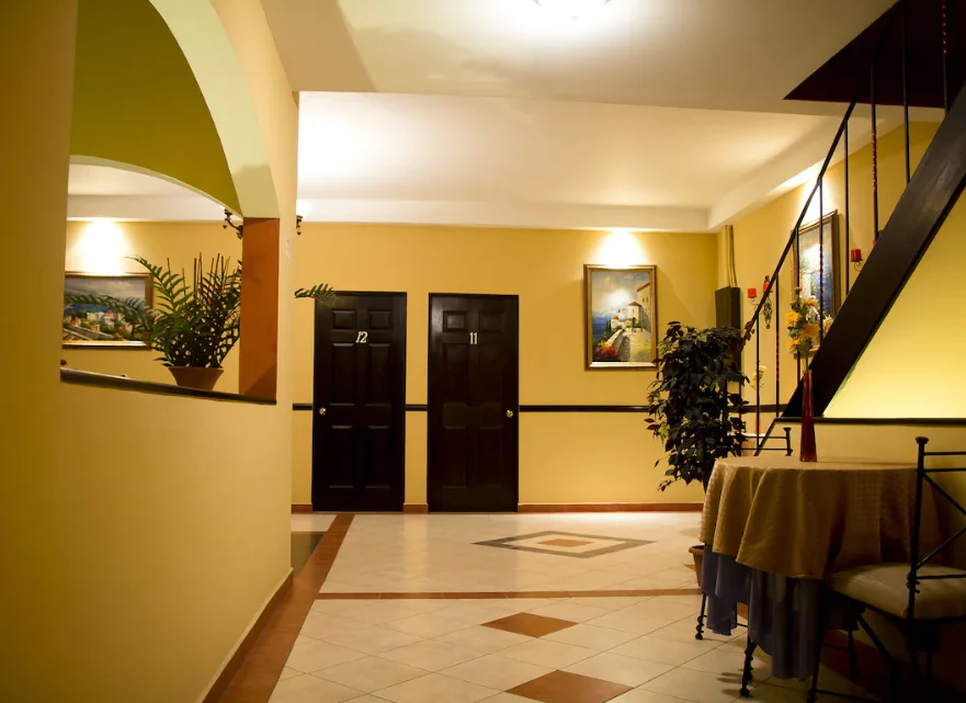
Hotel Merliot
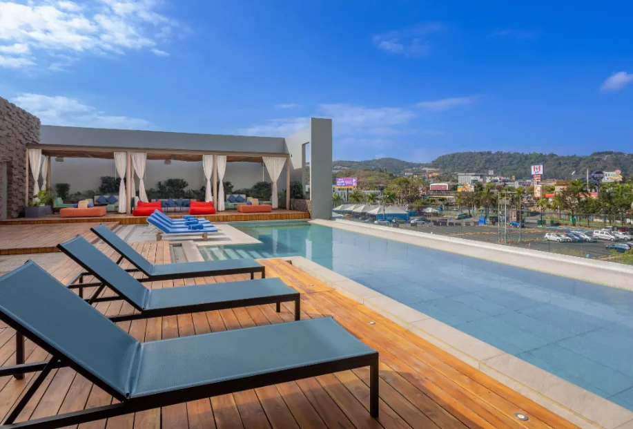
Hyatt Centric
Hyatt Centric
Sergio Paz Ave Corner With El Pedregal St Las Cascadas Shopping Center, C. el Pedregal, Cd Merliot
Highlights
Snapshots that tell the story of Santa Tecla.
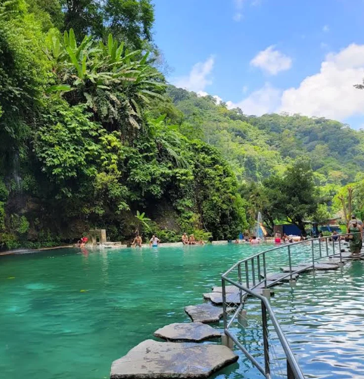 Turicentro
01 / 03
Los Chorros Recreational Park
Historic Turicentro of springs near Santa Tecla (different from Los Chorros de la Calera).
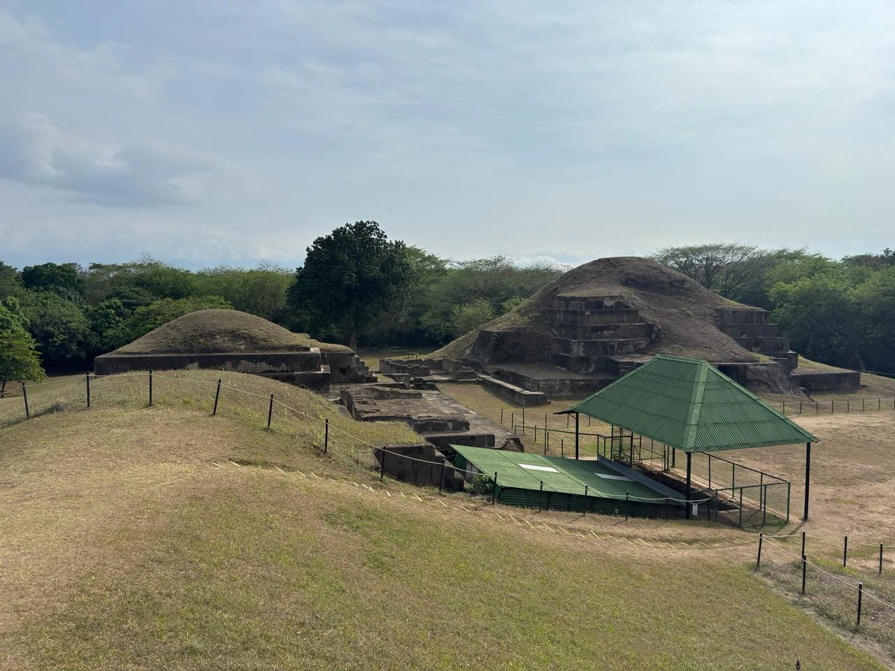 Archaeological Site
02 / 03
San Andrés
Ancient regional capital with an acropolis, large plazas, and pyramids in the Zapotitán Valley.
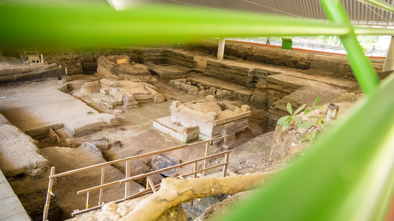 Archaeological Site
03 / 03
Joya de Cerén
The Mayan village that preserves homes, crops, and everyday objects from over 1,300 years ago.
Plan your visit
Everything you need to know before you arrive.
Temperature
16–32°C
61–90°F
Altitude
920 msnm
History of Santa Tecla
Santa Tecla was born from a project to relocate the capital after the earthquake that destroyed San Salvador on April 16, 1854. President José María San Martín ordered the foundation of a new city in the plain of Santa Tecla in August, naming it Nueva San Salvador. Its grid layout was a result of this planning. The project to replace the capital did not solidify: in 1859, it was decided that San Salvador would regain that function. Santa Tecla continued to grow and in 1865 became the head of the department of La Libertad. The coffee boom favored the construction of homes and institutions that shaped its urban landscape. The earthquake of 2001 once again deeply affected the city and damaged part of its heritage. The recovery of buildings like the Palacio Tecleño opened new cultural spaces. Although the population had used the name Santa Tecla long before, it officially replaced Nueva San Salvador in 2004.
Fun facts
Want to visit Santa Tecla?
Tours, local guides, private transport and car rental. Tell us what you need and we'll arrange it for you.

TuChero · AI guide
Artificial Intelligence specialized in El Salvador
Want to discover more places?
Ask TuChero, your AI travel guide, for the best places, tips and recommendations for traveling around El Salvador.