
San Salvador Volcano
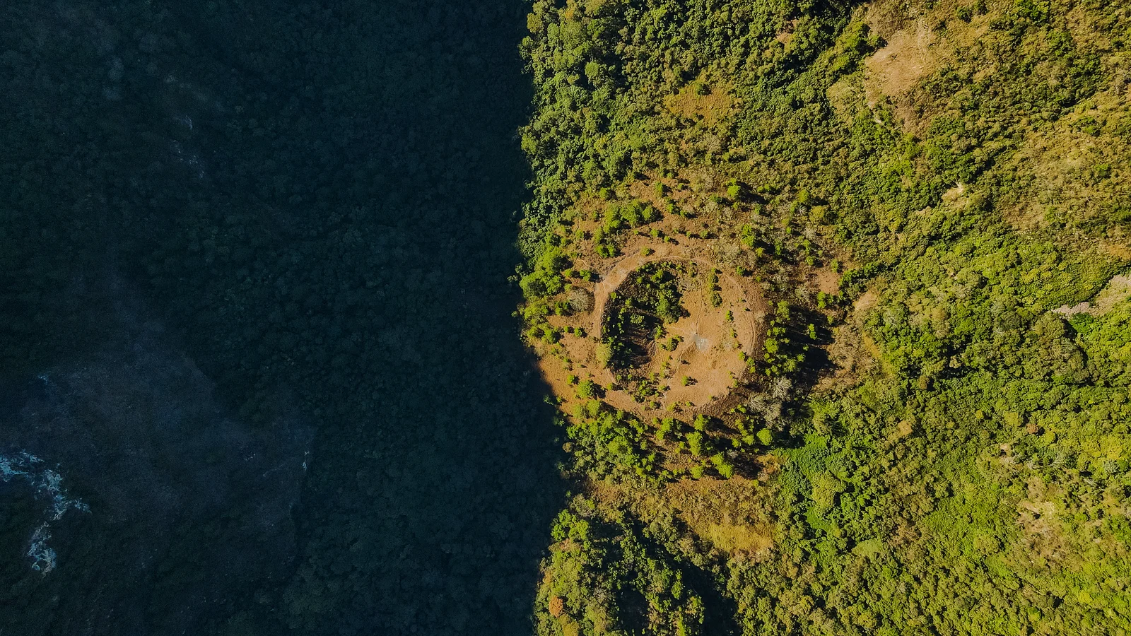
The volcano that crowns San Salvador, with a crater and a culinary corridor.
About San Salvador Volcano
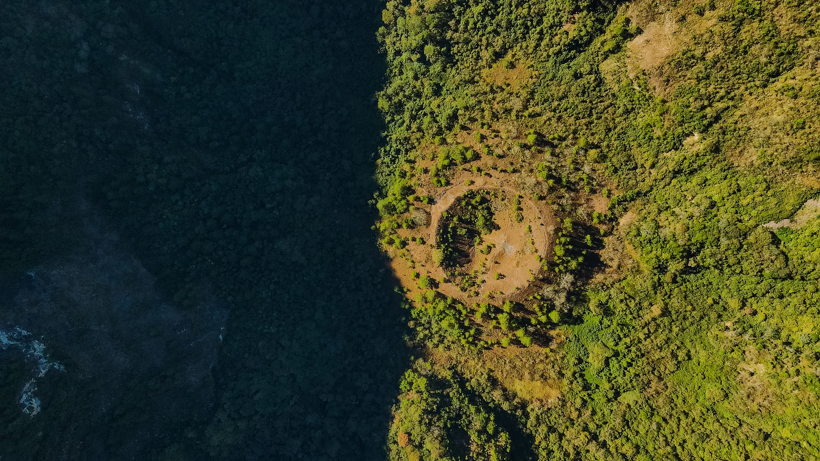
The San Salvador Volcano, or Quezaltepeque ("hill of the quetzals" in Nahuat), defines the western horizon of the capital. Its summit, El Picacho, reaches about 1,960 meters; at its center lies El Boquerón, a crater one and a half kilometers in diameter and over 500 meters deep, with El Boqueroncito inside. The rim is a protected reserve, an urban viewpoint, and a gastronomic corridor—restaurants, cafés, and pupuserías along the road to Boquerón—along with an area of nurseries and high-altitude flowers. Climbing up on the weekend to eat or walk is a Salvadoran tradition.
Explore inside San Salvador Volcano
Highlighted points within this place.
Details
Hours
Mon-Sun 9:00 AM-5:00 PM
Explore San Salvador Volcano
Restaurants, cafés and accommodation recommended by Experiences.
Where to eat
Tap a card for more info and location
Restaurante Finca San Cristóbal
Restaurante Finca San Cristóbal
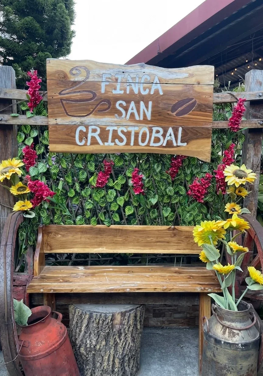
Countryside restaurant on the way to El Boquerón Park, one kilometer before the crater. Salvadoran cuisine in a farm setting, surrounded by nature and the cool mountain climate.
desvió km 20 un km antes del eco parque el boquerón, calle al boquerón, Santa Tecla
Plaza Volcán
Plaza Volcán
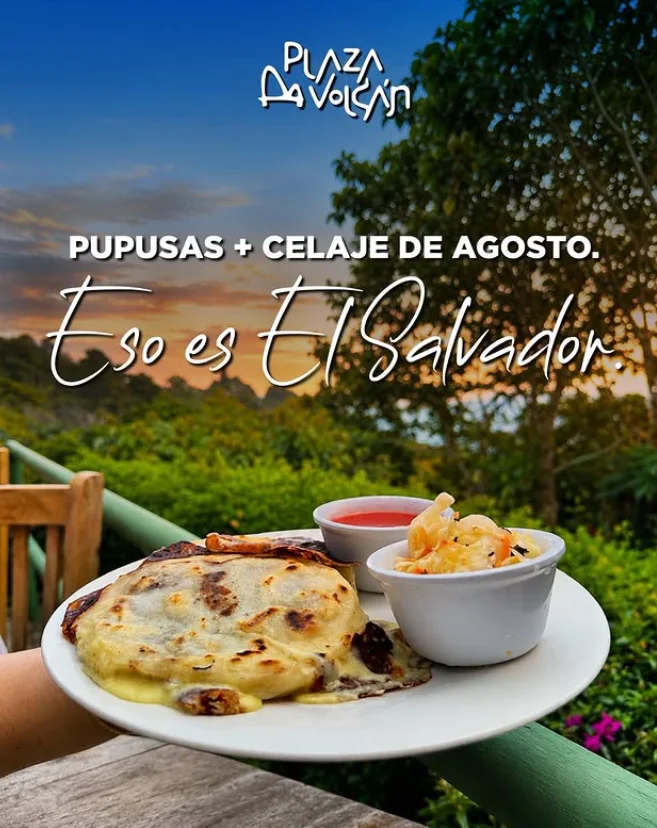
Restaurant complex on the road to Boquerón, in the Álvarez canton. Several dining options with views of the volcano, a popular weekend getaway spot.
Canton Alvarez, calle al boqueron, Santa Tecla CP 1501
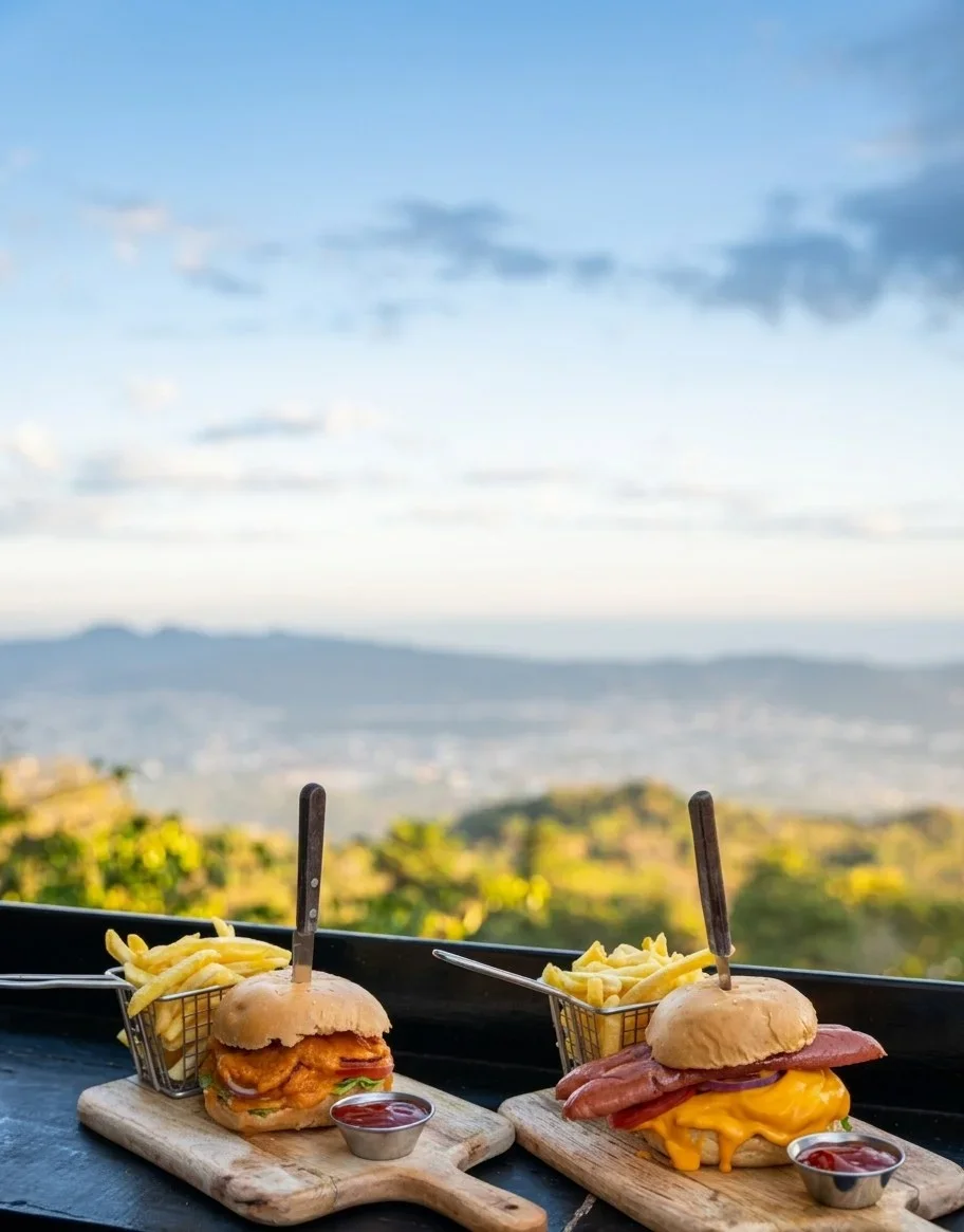
Linda Vista Garden
Linda Vista Garden
Restaurant with gardens at kilometer 18 on the road to Boquerón. Green surroundings and cool climate, a great stop for a meal on the way to the crater.
Kilómetro 18 Avenida Boqueron 5, Santa Tecla
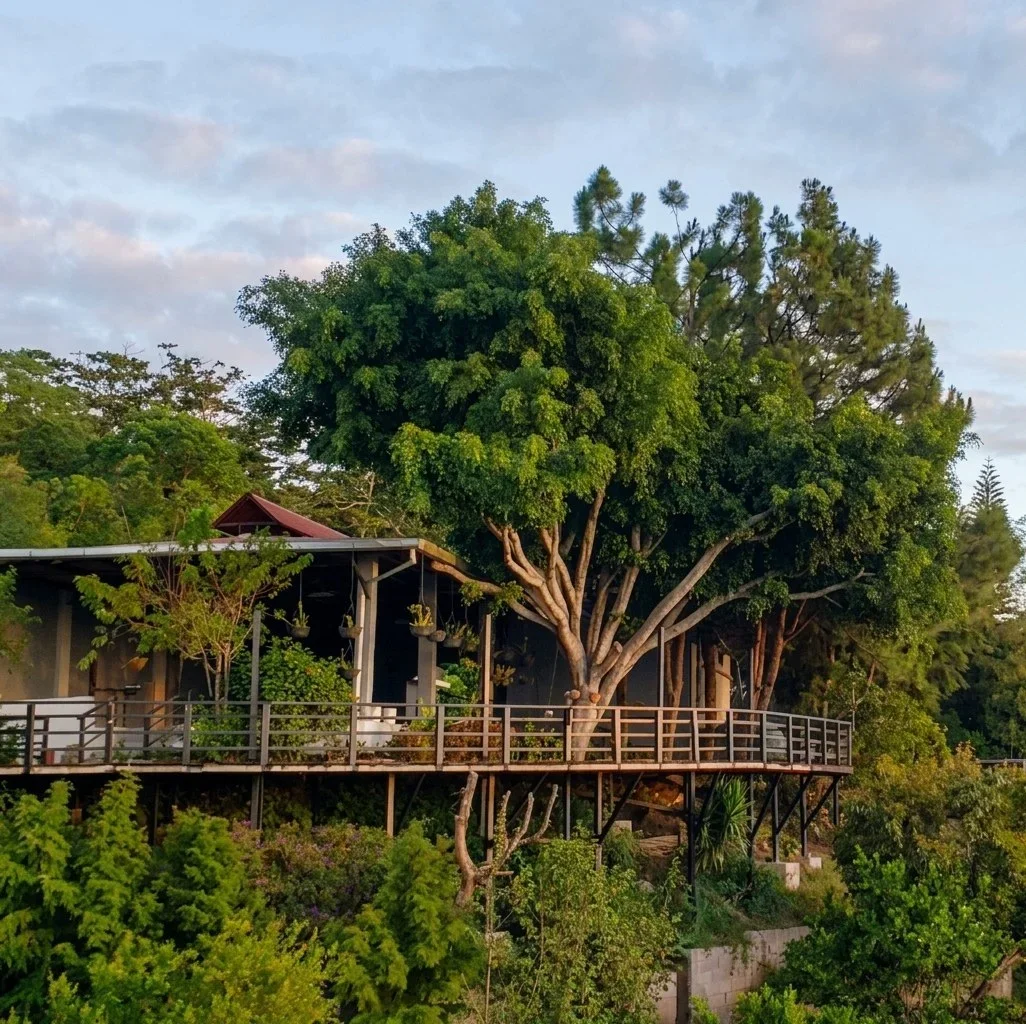
Restaurante Pupusas Las Vegas - El Boquerón
Restaurante Pupusas Las Vegas - El Boquerón
Traditional pupusería in the Boquerón area, Álvarez canton. Freshly made pupusas on the griddle, a classic for visitors to the volcano.
Álvarez
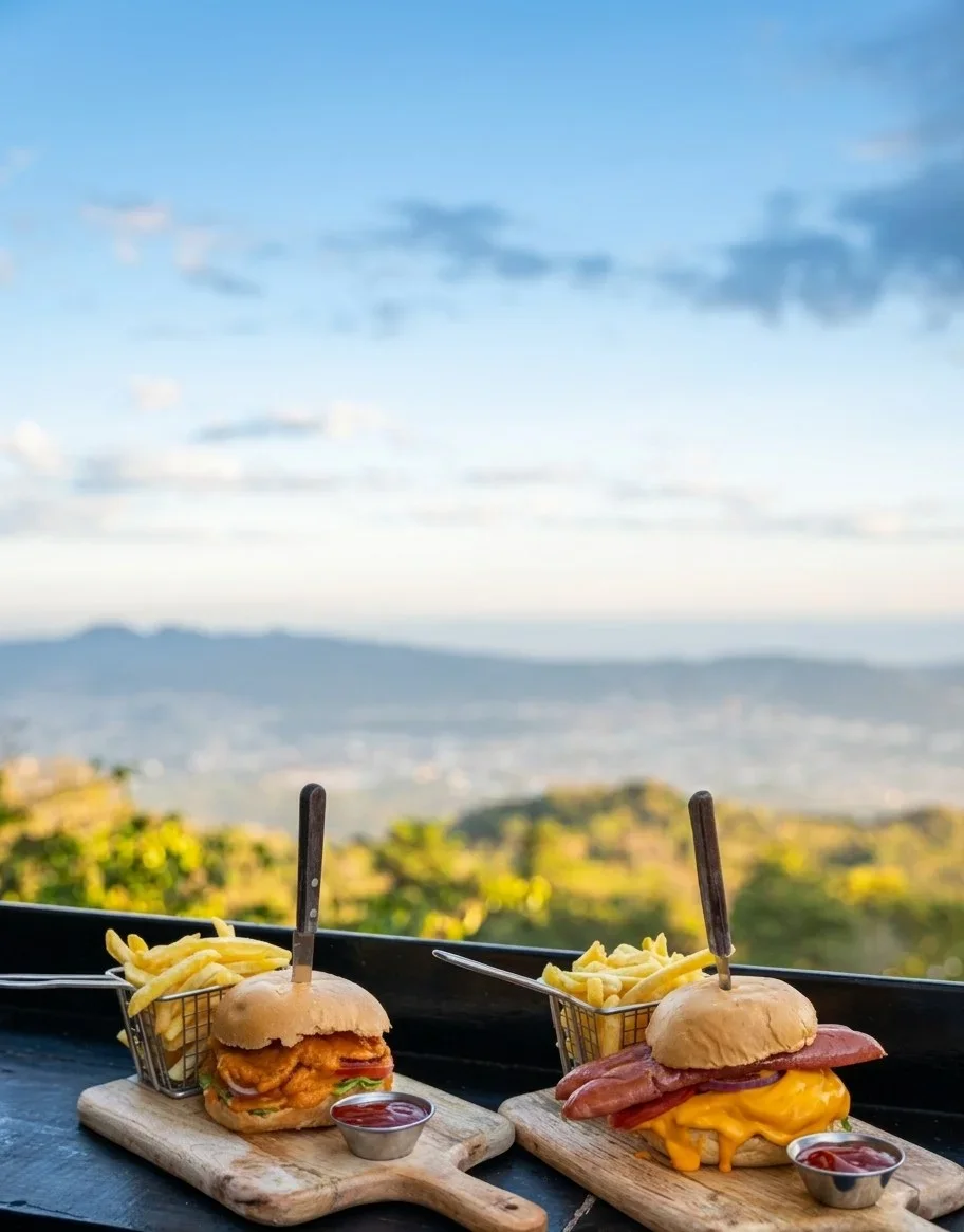
BEAR House • Plaza Volcán
BEAR House • Plaza Volcán
Restaurant in Plaza El Volcán, kilometer 16½ on the road to Boquerón. Varied cuisine and a modern atmosphere with the cool mountain climate.
Plaza El Volcán, 16 1 2 Km, Santa Tecla
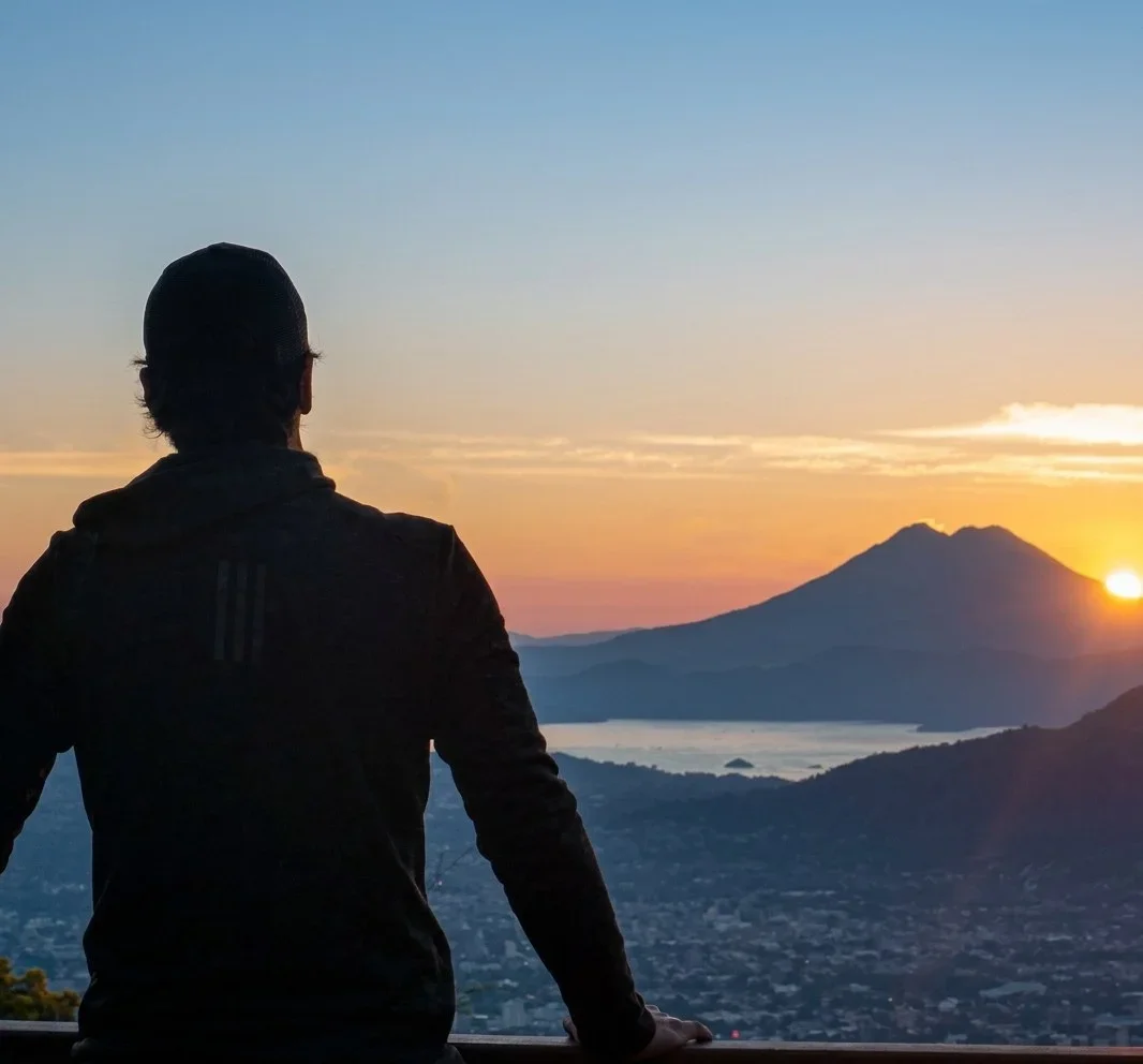
Plaza Boquerón
Plaza Boquerón
Gastronomic complex at kilometer 17.5 on the road to Boquerón. It brings together several restaurants and viewpoints facing the volcano, very popular on weekends.
Calle Al Boquerón Km. 17.5, Santa Tecla
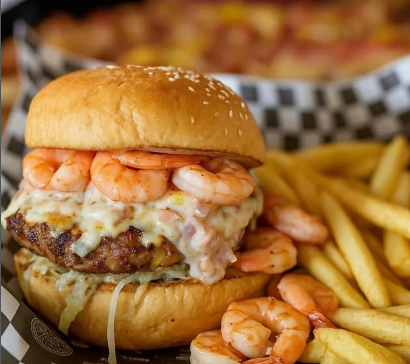
Cafés & Bars
Tap a card for more info and location
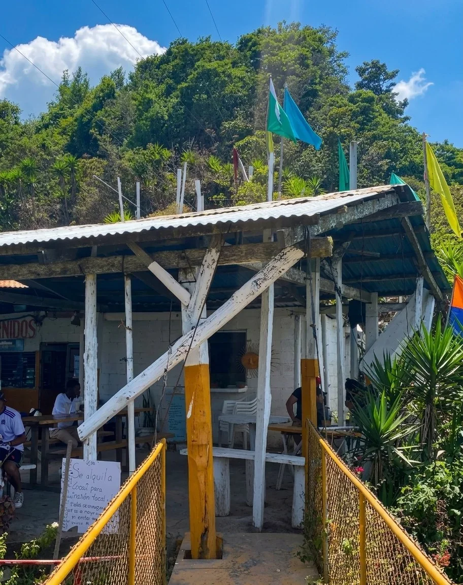
Cafetería Mirador las Alturas del Boquerón
Cafetería Mirador las Alturas del Boquerón
Café with a viewpoint near the entrance to the Boquerón crater, in the heights of Santa Tecla. Coffee and snacks with a panoramic view of the valley and the volcano.
El Boquerón, Entrada Al Cráter, Santa Tecla
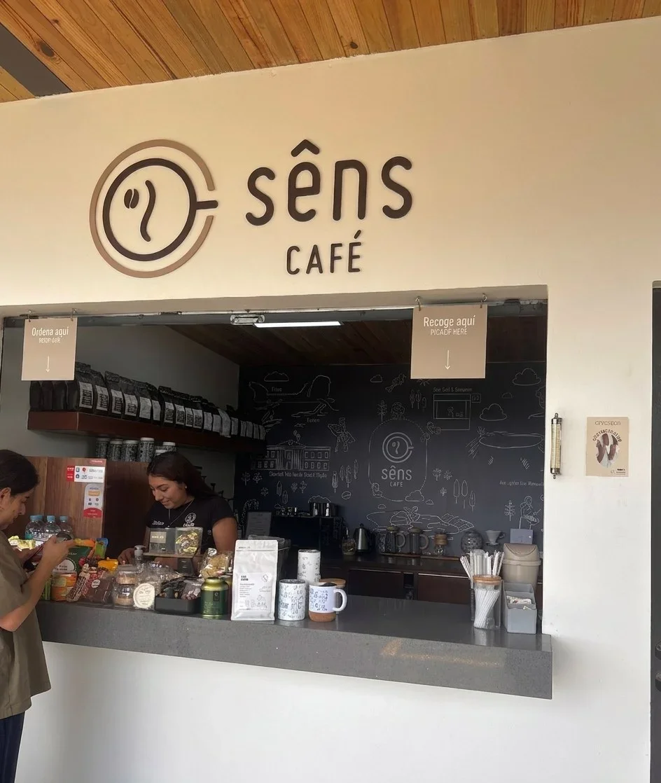
Sens Café El Boquerón
Sens Café El Boquerón
Mountain coffee in the Boquerón area, on the San Salvador volcano. A cool and tranquil atmosphere to enjoy coffee with a view, just a few minutes from Santa Tecla.
PPMC+G2, Santa Tecla
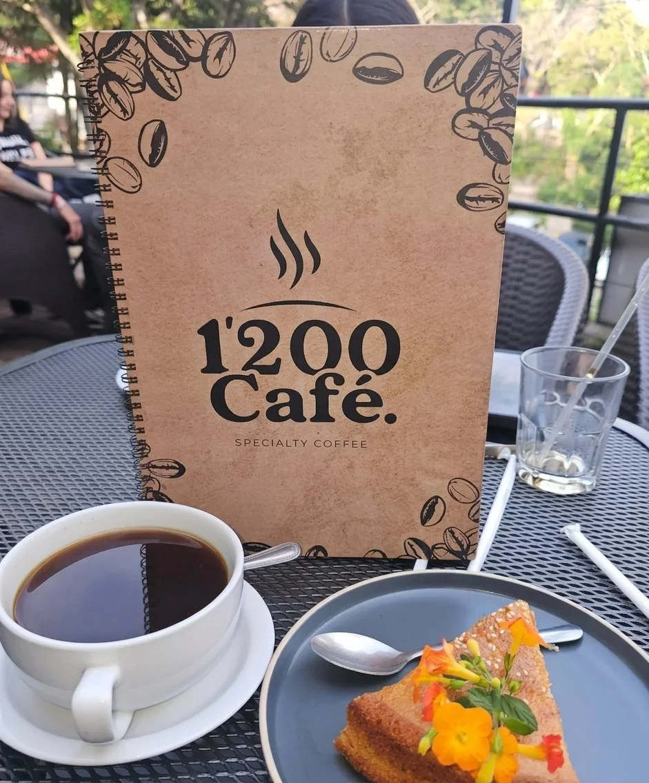
1'200 Café El Volcán
1'200 Café El Volcán
High-altitude café on the road to the volcano, in the Boquerón area. Specialty coffee and pastries with a view, in the cool climate of the San Salvador volcano's slopes.
Calle al volcan, Santa Tecla
Brief History
The volcano retains the Nahuat name Quezaltepeque, "hill of the quetzals," from the peoples who inhabited its slopes before the Conquest. Its most recent eruption occurred on June 7, 1917: the activity dried up the lagoon that occupied the crater and raised in its place the cone known as El Boqueroncito. Since then, the volcano has remained dormant, and its rim has become one of the main viewpoints and recreational areas of the capital.
Visit Tips
Consider the altitude of the edge: 1,893 meters above sea level, with temperatures of 12–22 °C.
Know that the volcano is dormant; its last eruption was in 1917.
Allow 20–25 minutes for the hike; the difficulty is easy, suitable for everyone.
Go early: after noon, the fog often obscures the view of the crater.
Bring warm clothing even if it's hot down below; the temperature drops significantly at the edge.
Do not confuse El Picacho, the highest peak, with the crater of El Boquerón.
Want to visit San Salvador Volcano?
Tours, local guides, private transport and car rental. Tell us what you need and we'll arrange it for you.

TuChero · AI guide
Artificial Intelligence specialized in El Salvador
Want to discover more places?
Ask TuChero, your AI travel guide, for the best places, tips and recommendations for traveling around El Salvador.