
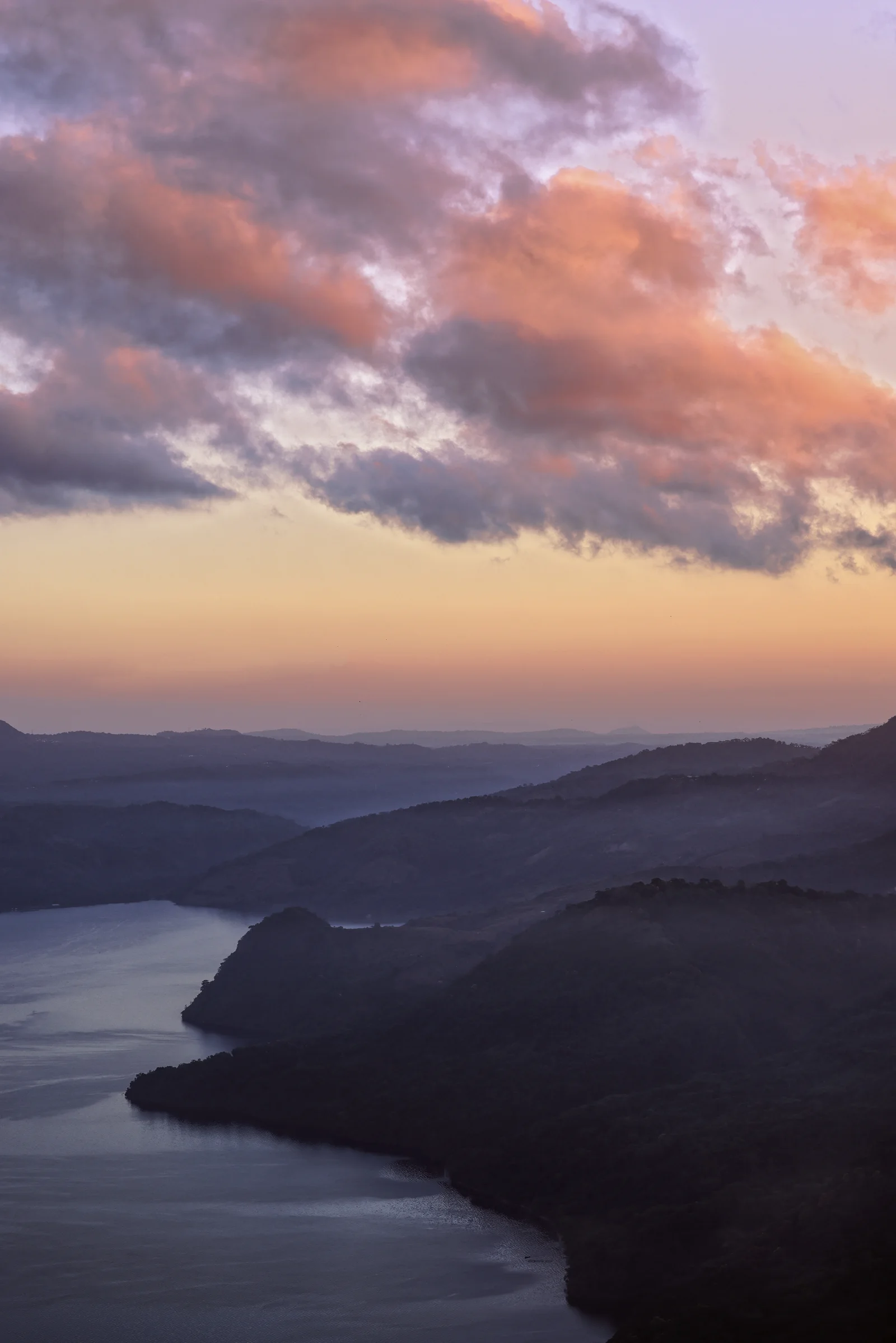
Ilopango Lake
About Ilopango Lake
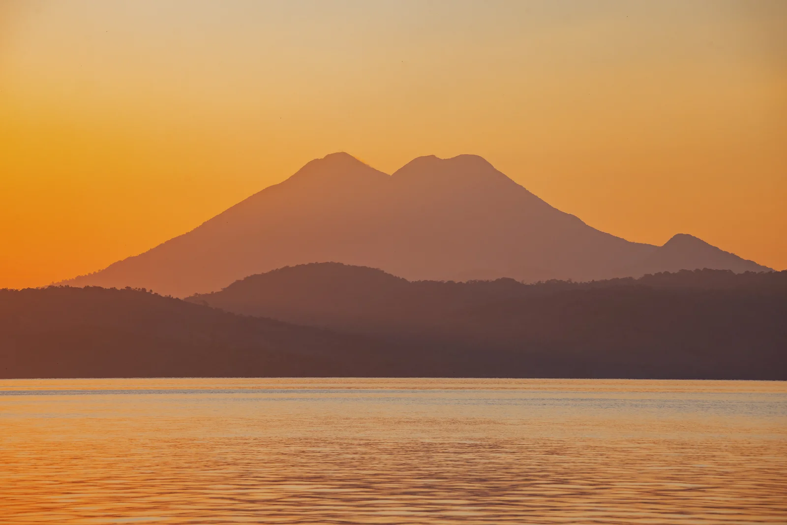
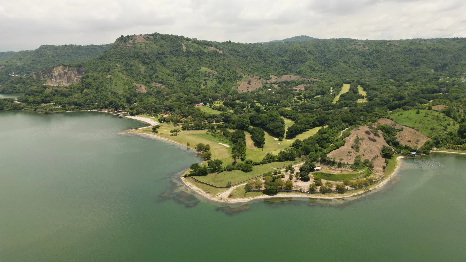
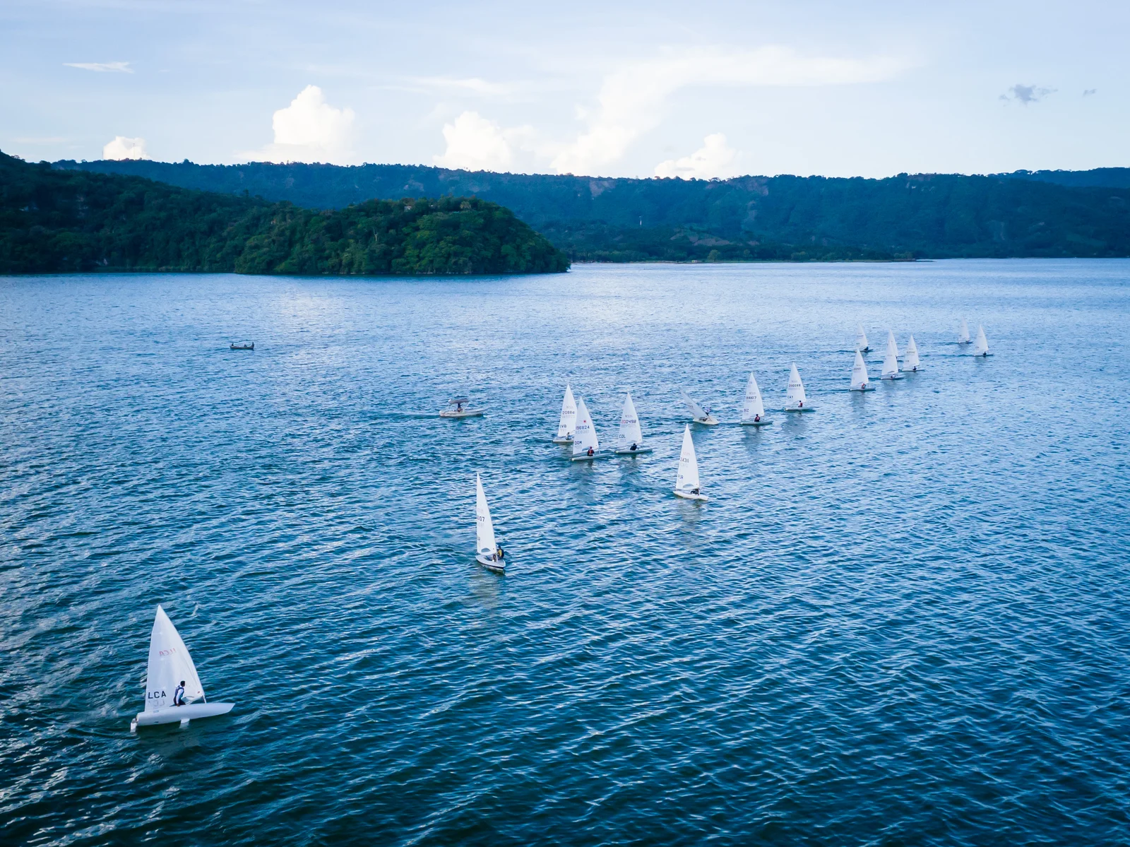
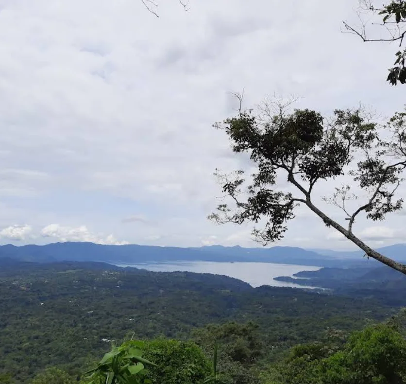
Located just a few kilometers from San Salvador, Lake Ilopango offers boat tours, kayaking, fishing, and diving within an expansive volcanic caldera. The visit can be complemented by dining at the restaurants around the lake, where local cuisine is paired with panoramic views.

Explore Ilopango Lake
Activities, restaurants and stays recommended by Experiences.
Where to eat
Tap a card for more info and location
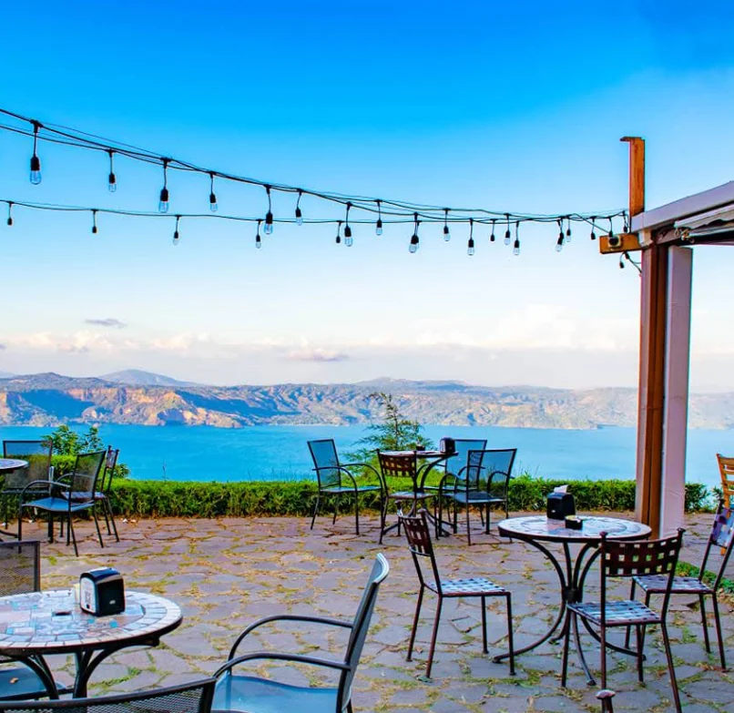
Las Tres Piedras
Las Tres Piedras
Restaurant and viewpoint along the Panoramic Road, on the southern edge of Lake Ilopango. The menu combines traditional Salvadoran cuisine with international dishes, served with a view of the lake.
Carretera Panorámica Km 21.5
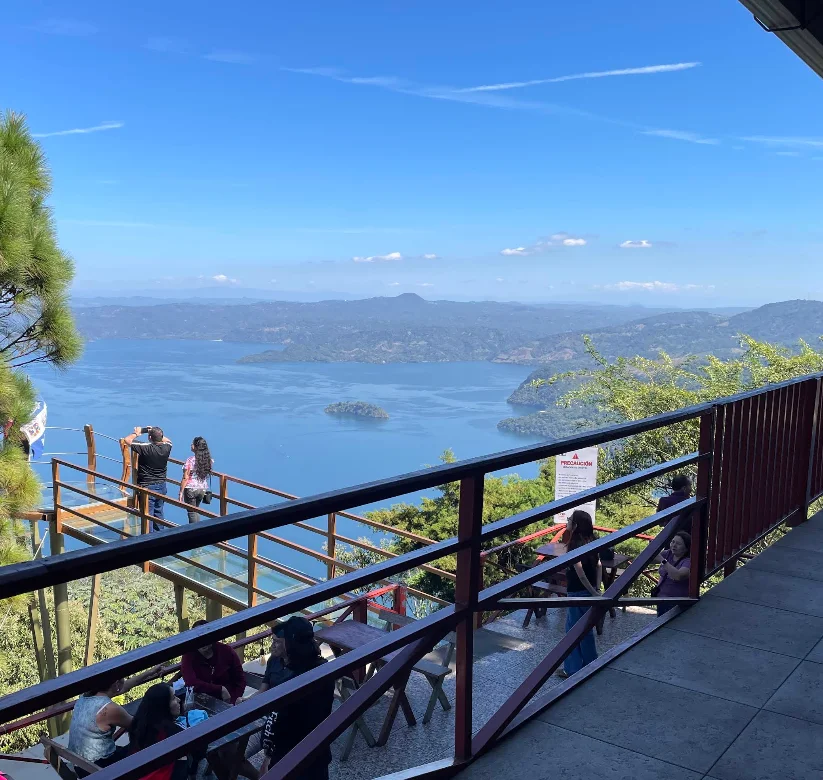
Kiosko San Francisco
Kiosko San Francisco
Typical food restaurant at kilometer 24 of the Panoramic Highway, on the southern shore of the lake. The menu focuses on Salvadoran dishes and seafood, with a terrace facing the crater.
Carretera Panorámica Km 24
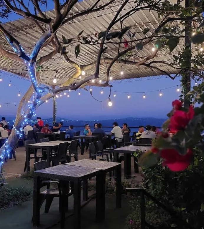
Coffee Lake Restaurant & Steak House
Coffee Lake Restaurant & Steak House
Restaurant and steakhouse on the Panoramic Highway, with a view of Lake Ilopango from the southern slope. The menu includes cuts of meat, coffee, and international dishes.
Carretera Panorámica Km 19
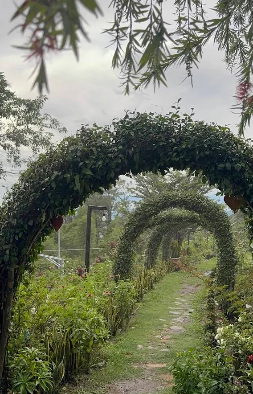
La Petite Chef
La Petite Chef
Restaurant at kilometer 22.5 of the Panoramic Highway, in the southern sector of Lake Ilopango. The offering is international cuisine served in front of the crater viewpoint.
Carretera Panorámica Km 22.5
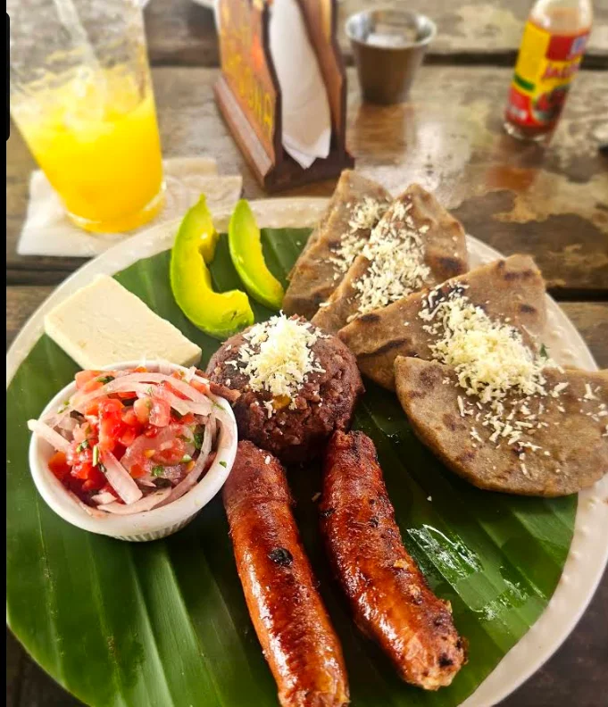
La Casona Café y Típicos
La Casona Café y Típicos
Café and traditional food restaurant on the Panoramic Highway, at kilometer 25 on the southern slope of the lake. The menu features Salvadoran dishes, coffee, and pastries, with a view of the crater.
Carretera Panorámica Km 25
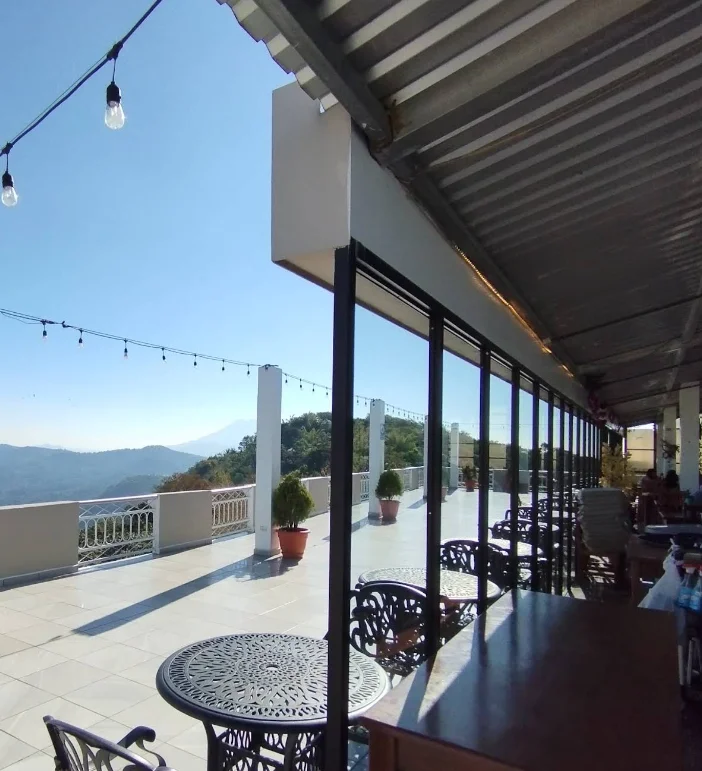
Restaurante y Mirador Los Llanitos
Restaurante y Mirador Los Llanitos
Restaurant with a viewpoint on the Panoramic Road, in the hamlet of La Montaña on the southern shore of Lake Ilopango. It offers traditional Salvadoran cuisine on terraces overlooking the crater.
Carretera Panorámica Km 24, Caserío La Montaña
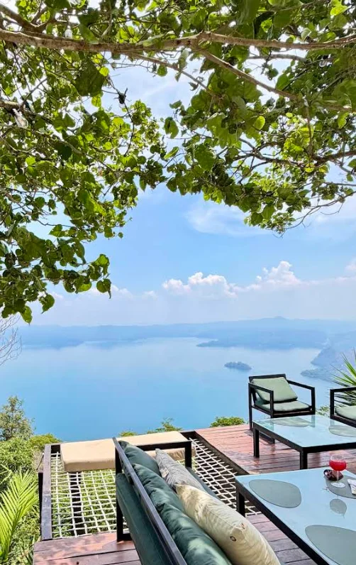
Azomalli SV
Azomalli SV
Restaurant at kilometer 24 of the Panoramic Road, on the southern shore of Lake Ilopango. The menu features international and local dishes served in front of the viewpoint.
Carretera Panorámica Km 24
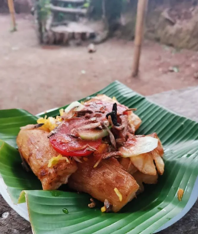
Típicos Lisseth Melody
Típicos Lisseth Melody
Typical food diner along the Panoramic Highway, on the southern slope of Lake Ilopango. The menu consists of traditional Salvadoran dishes served with a view of the lake.
Carretera Panorámica
Cafés & Bars
Tap a card for more info and location
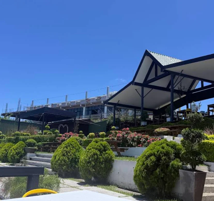
Café Santa Cruz
Café Santa Cruz
Café located on the Panoramic Highway, on the southern slope of Lake Ilopango, with an open view of the crater. It offers coffee, pastries, and light dishes to enjoy in front of the viewpoint.
Carretera Panorámica Km 10
Highlights
Snapshots that tell the story of Ilopango Lake.
History of Ilopango Lake
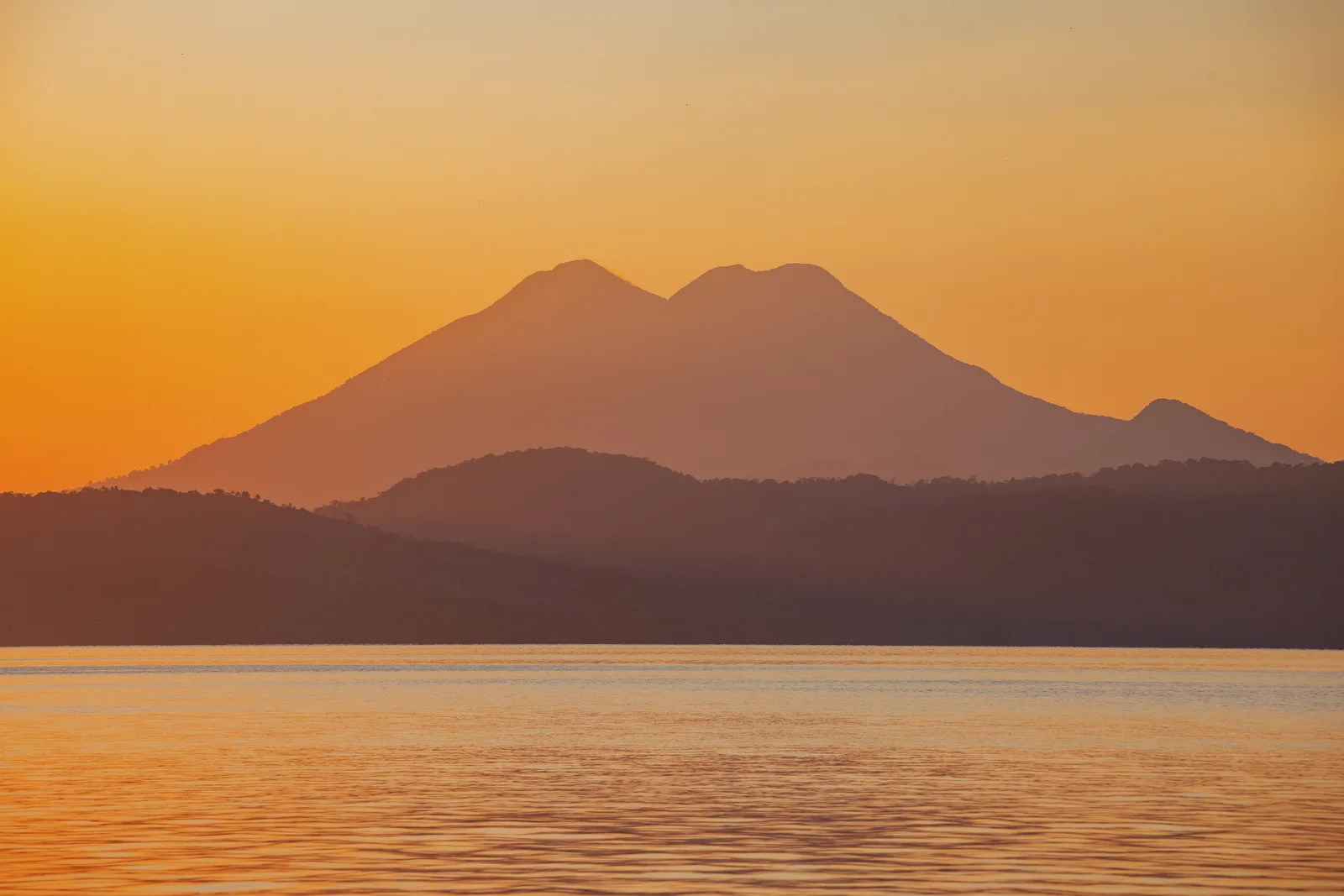
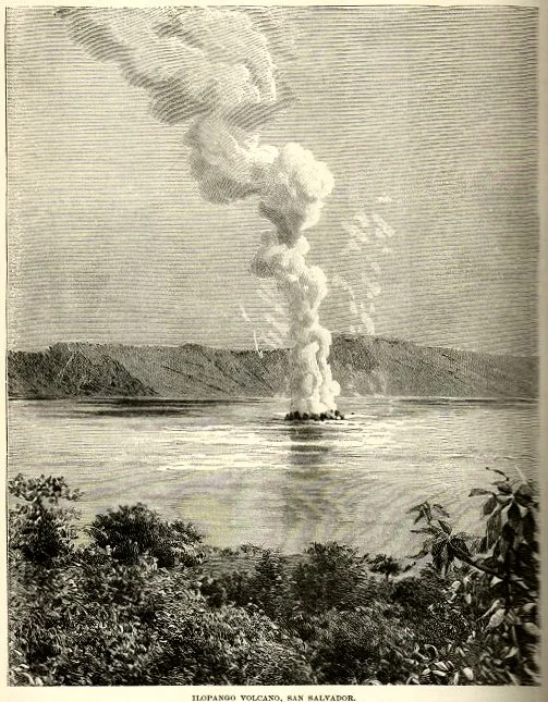
Ilopango comes from Xilopango, a name of Nahuatl origin related to xilotes or tender corn. Around the year 431 A.D., the Tierra Blanca Joven eruption caused the most recent collapse of the caldera, covering large areas with ash and affecting numerous Maya settlements. Its last recorded eruption occurred between 1879 and 1880 and formed a lava dome, the visible parts of which are now known as Islas Quemadas or Cerros Quemados.
Fun facts
Want to visit Ilopango Lake?
Tours, local guides, private transport and car rental. Tell us what you need and we'll arrange it for you.

TuChero · AI guide
Artificial Intelligence specialized in El Salvador
Want to discover more places?
Ask TuChero, your AI travel guide, for the best places, tips and recommendations for traveling around El Salvador.