
Cayaguanca Rock
Rock formation at 1,621 meters on the border with Honduras, featuring a 3-kilometer mountain trail.
About Cayaguanca Rock
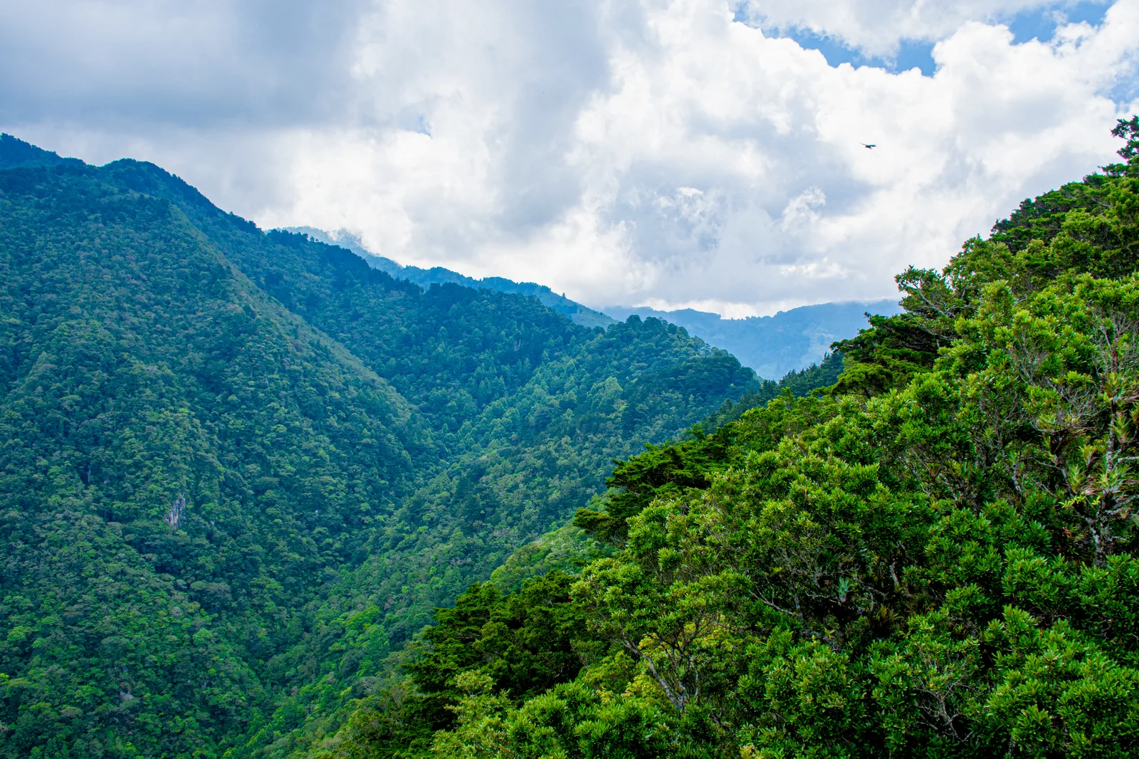
Rock formation of 1,621 meters in height located in San Ignacio, north of Chalatenango, right on the border with Honduras. It is accessed via a trail of about 3 kilometers that crosses forests, cobblestone paths, and high mountain areas, and from the summit, you can see Salvadoran and Honduran territory.
Details
Hours
Open 24 hours
Best time to visit
Dry season, leaving early in the morning.
Highlight
Challenging Hiking
Brief History
The name comes from the indigenous languages of the area: in Nahuat, Cayaguanca means 'stone that sees the stars'; in Chortí, 'water box'. The rock lends its name to the Cayaguanca Municipal Association, which includes San Ignacio, Citalá, La Palma, San Fernando, and Dulce Nombre de María. Along with Cerro El Pital, it forms a pair of high-altitude hikes in the northern region of Chalatenango.
Location & Map
Visit Tips
It's a demanding hike, not a stroll: wear hiking shoes and leave early.
It combines with Cerro El Pital on the same trip: both are located in the San Ignacio area.
Without your own car: take bus route 119 from the Terminal de Oriente to San Ignacio.

Want to know more?
Ask TuChero, your AI travel guide, about the best places, tips and recommendations for Cayaguanca Rock.