
Chalatenango
About Chalatenango
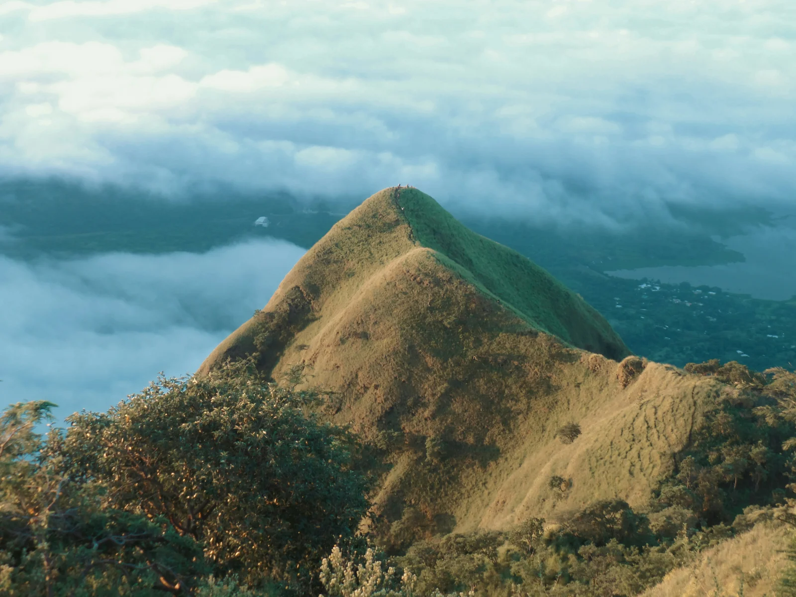
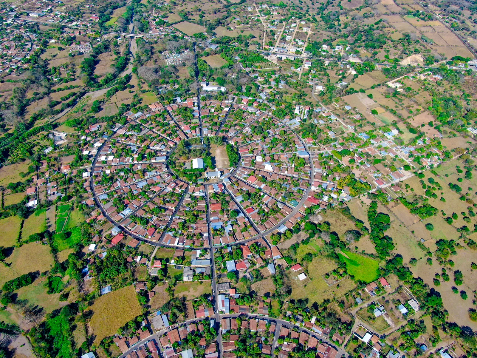
Chalatenango is the capital of the department of the same name, located in the north of El Salvador. It serves as a base for exploring the La Montañona circuit, among towns, forests, and the memories of the civil war.
Explore Chalatenango
Activities, restaurants and stays recommended by Experiences.
Where to eat
Tap a card for more info and location
La Parrilla Road Food
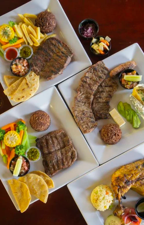
La Parrilla Road Food
Chalatenango Restaurant, located on CA 3E. Its menu includes meats and grilled dishes.
CA 3E
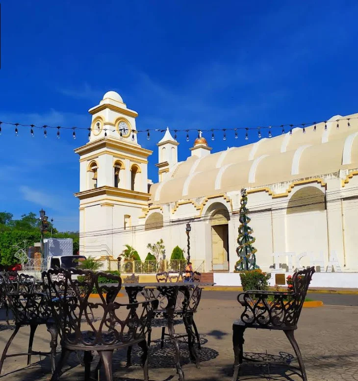
Restaurante Cayaguanca
Restaurante Cayaguanca
Restaurant located on C. Prof. Juan Ramón Mena, in Chalatenango. Its menu features local cuisine and à la carte dishes.
C. Prof. Juan Ramón Mena, Chalatenango
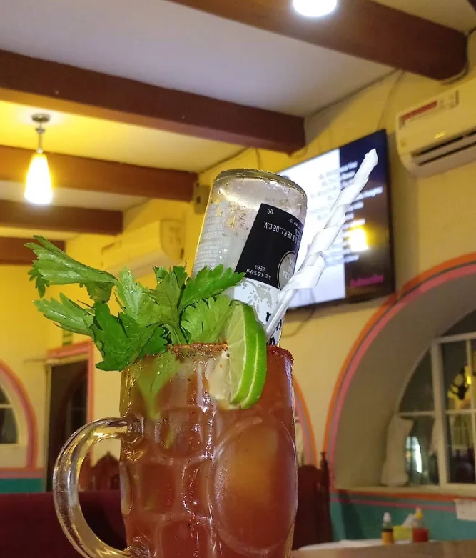
Restaurante El Paraíso
Restaurante El Paraíso
Restaurant in the urban center of Chalatenango. Its menu features local cuisine and à la carte dishes.
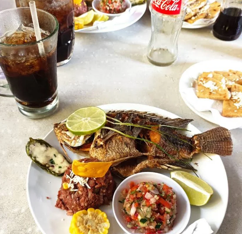
Rancho Bambú
Rancho Bambú
Restaurant located on A las Pesceras, in Chalatenango. Its menu features local cuisine and à la carte dishes.
A las Pesceras, Chalatenango
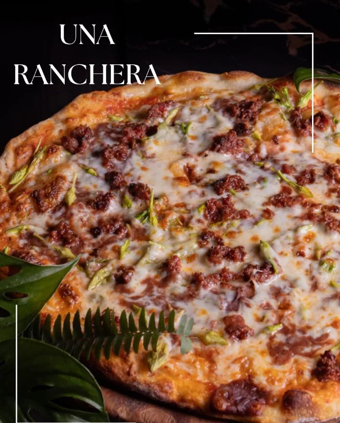
Pizza Artesanal
Pizza Artesanal
Restaurant located at CP 1301, Chalatenango CP 1301, in Chalatenango. Its specialty is pizzas and à la carte dishes.
CP 1301, Chalatenango CP 1301
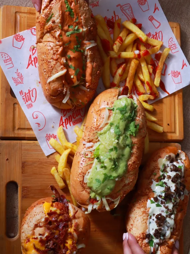
Bon Appetit CH SV
Bon Appetit CH SV
Restaurant located on Fourth East Street, San Antonio Neighborhood, 10 meters from Ferretería Don Genaro, in Chalatenango. Its menu features local cuisine and à la carte dishes.
Cuarta calle Oriente, Barrio San Antonio a 10 metros de, Ferretería Don Genaro
Cafés & Bars
Tap a card for more info and location

Vidamia Café
Vidamia Café
Café located on 6th Street, in Chalatenango. Its menu focuses on coffee, beverages, and pastries.
6ª Calle, Chalatenango
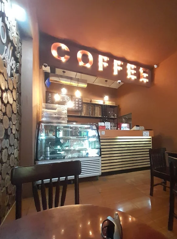
Ges's Coffee
Ges's Coffee
Café de Chalatenango, located on C. San Martín. Its menu focuses on coffee, beverages, and pastries.
C. San Martín, Chalatenango
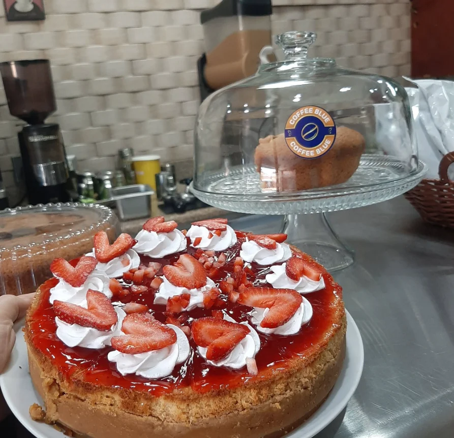
Coffee Blue
Coffee Blue
Café located on 4th Street 5, in Chalatenango. Its menu focuses on coffee, beverages, and pastries.
4ª Calle 5, Chalatenango
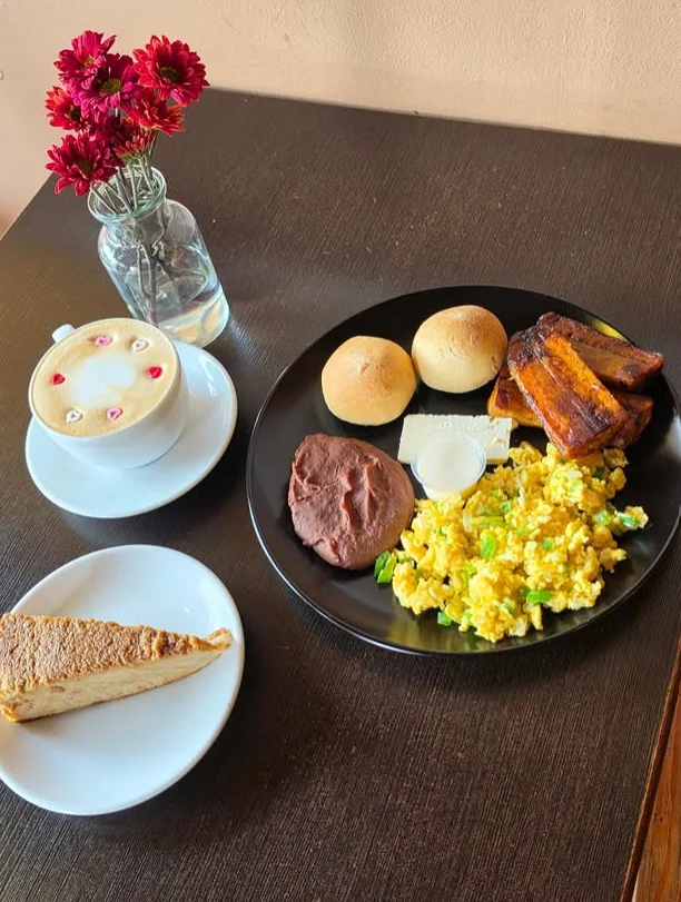
iCafecito
iCafecito
Café located between 2nd Avenue South and 4th East Street, in Chalatenango. Its menu focuses on coffee, beverages, and pastries.
entre 2av. Sur y, 4ta calle oriente
Highlights
Snapshots that tell the story of Chalatenango.
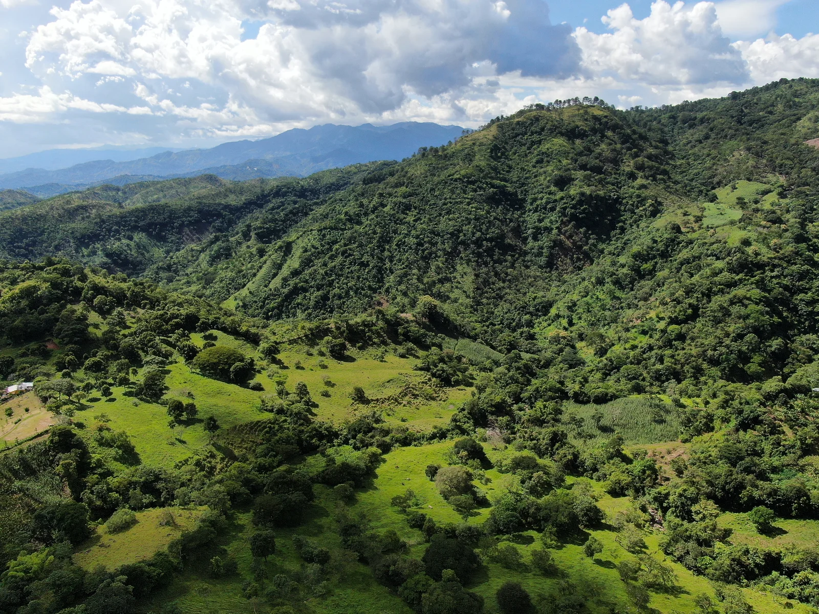 Cultural Heritage
01 / 06
Concepción Quezaltepeque
The capital of the Salvadoran hammock, with over 130 years of hand-weaving.
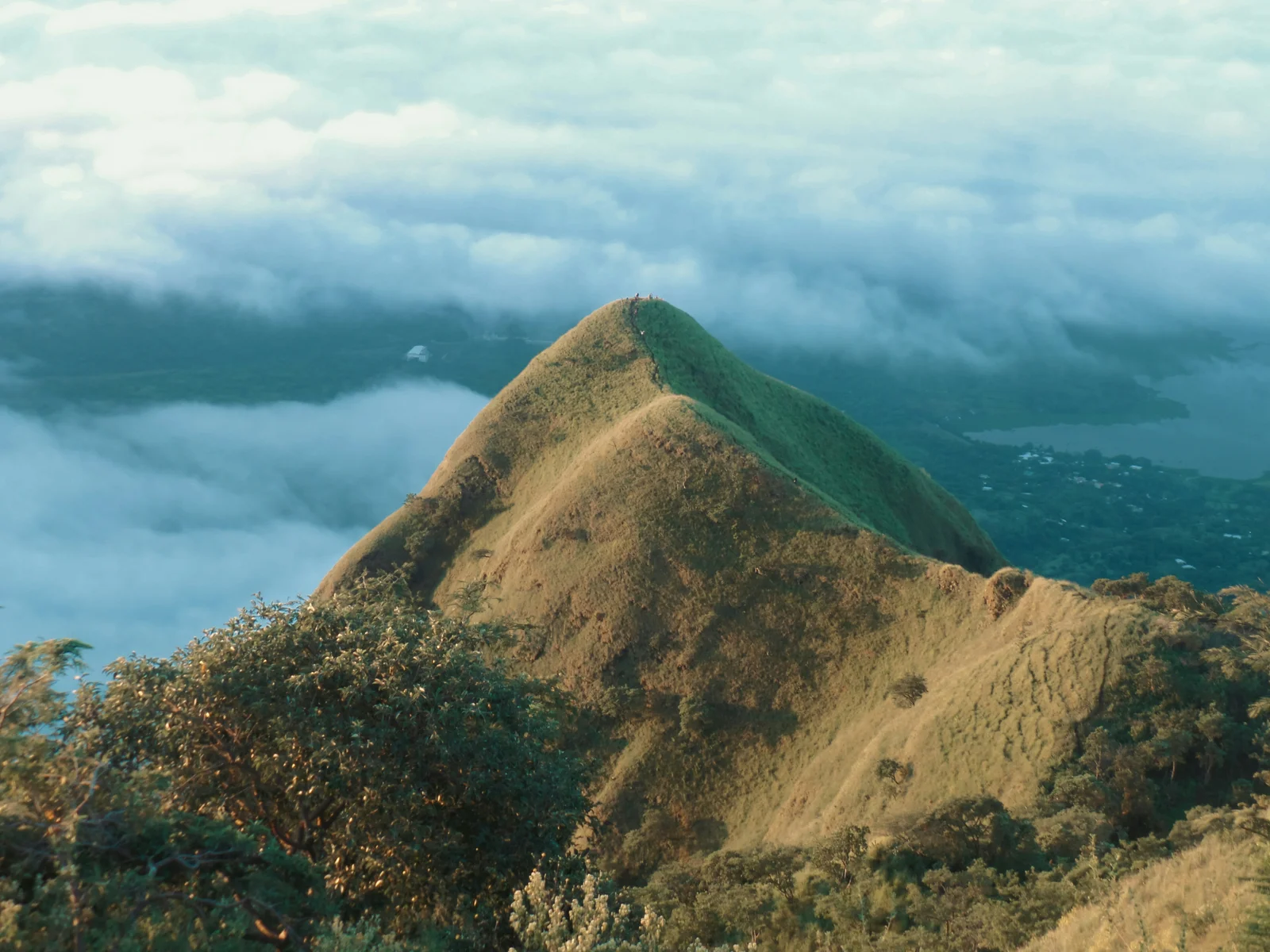 Viewpoint
02 / 06
Eramón Hill
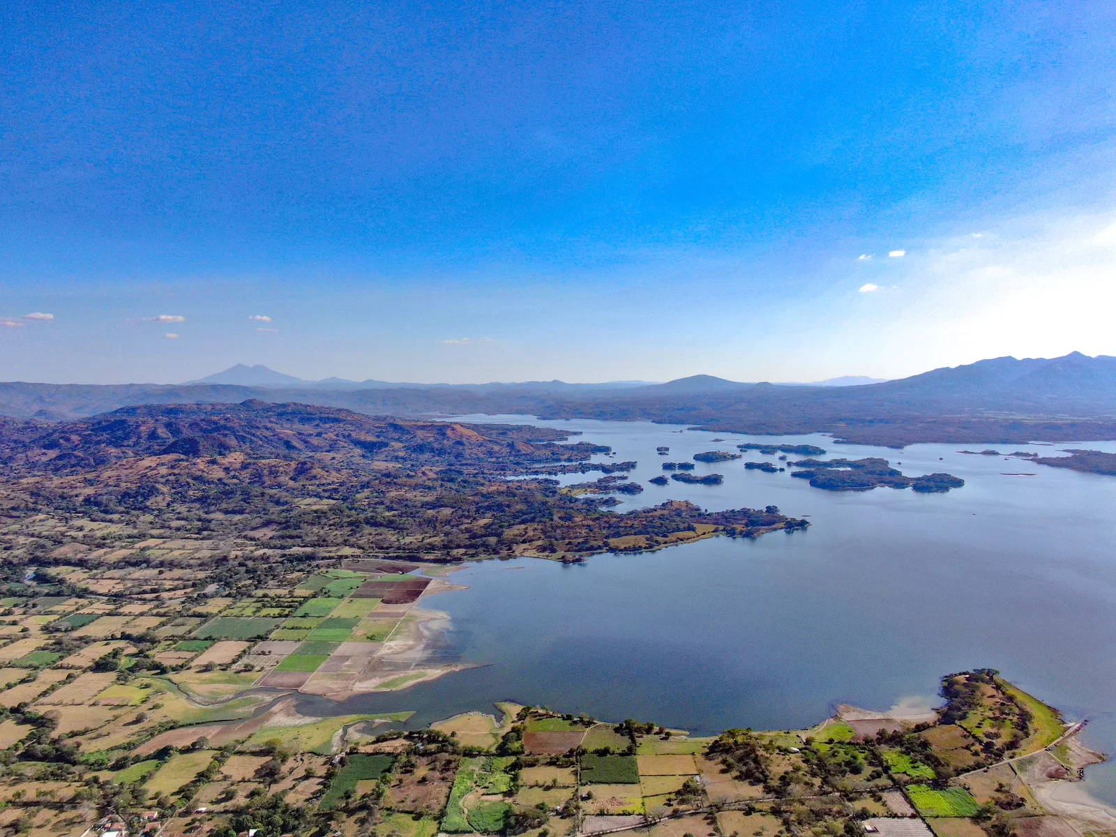
A 360-degree view over the Lempa River, the mountains, and El Salvador's volcanic chain.
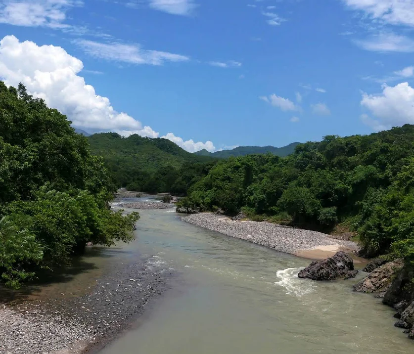 Spa Resort
03 / 06
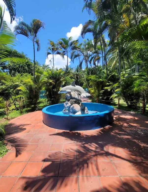
Turicentro Río Sumpul
Sumpul River Pools in Chalatenango.
 Water Park
04 / 06
Splash Water Park
Water slide water park.
 Tourist Spot
05 / 06
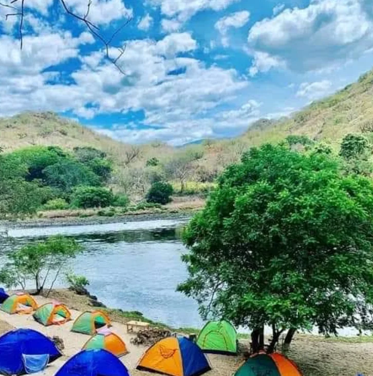
Papa Toño's Ranch
Rafting and adventure on the Lempa River.
 Turicentro
06 / 06
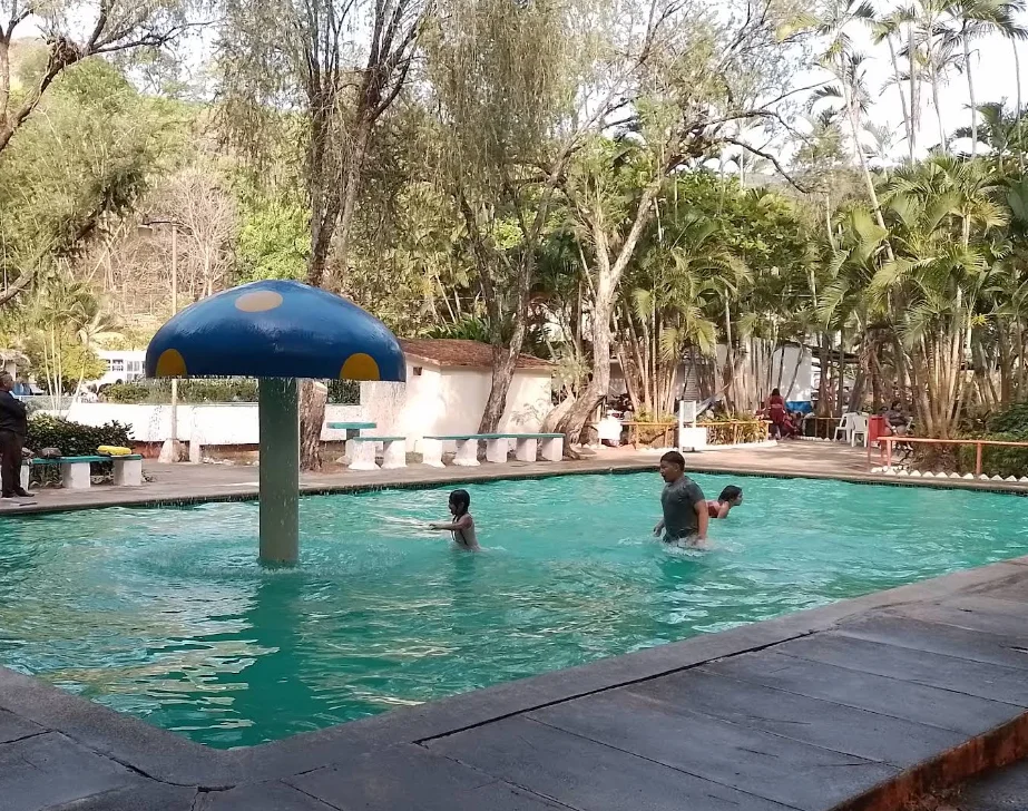
Agua Fría Recreational Park
Mountain Fresh Water Tourist Center.
Plan your visit
Everything you need to know before you arrive.
Temperature
18–34°C
64–93°F
Altitude
396 msnm
History of Chalatenango
Chalatenango emerged as an indigenous settlement before the conquest, and its name retains Nahua roots. During the colonial era, the cultivation and trade of indigo boosted the local economy. In 1801, the Feria de Todos los Santos was inaugurated to bring together indigo producers and livestock traders; the celebration survived the disappearance of that market. Chalatenango was granted the title of villa in 1831, in recognition of its inhabitants' participation in the independence struggles. When the Chalatenango department was created in 1855, the population became its capital. In 1871, it obtained the title of city. Its porticoes and old adobe and tile houses recall the time when merchants and travelers arrived at the fair. The civil war also deeply marked the department and its communities. Today, the city maintains its administrative and commercial function while serving as a gateway to the landscapes and memories of La Montañona.
Fun facts
Want to visit Chalatenango?
Tours, local guides, private transport and car rental. Tell us what you need and we'll arrange it for you.

TuChero · AI guide
Artificial Intelligence specialized in El Salvador
Want to discover more places?
Ask TuChero, your AI travel guide, for the best places, tips and recommendations for traveling around El Salvador.